NOVA GEOFRONTIERS
Geospatial • Remote Sensing • GeoAI • Hydrospatial
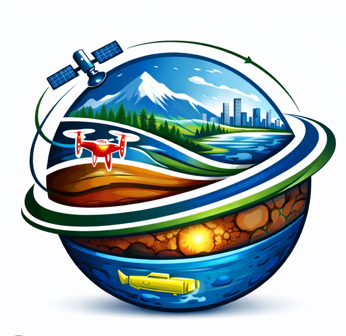
Advanced Geospatial & Earth Observation Consulting
NOVA GEOFRONTIERS is a senior-led geospatial consulting practice delivering GIS, Remote Sensing, GeoAI, and Hydrospatial solutions for government, academia, and industry. We help organizations transform spatial data into clear, actionable insight for planning, risk reduction, and sustainable decision-making.
Our work bridges science, technology, and real-world application, supporting clients across environmental assessment, natural hazards, climate change, coastal and marine environments, disaster risk reduction, and spatial analytics.
What We Do
Geospatial & GIS Consulting
Spatial databases, mapping solutions, and decision-support systems for environmental and infrastructure applications.
Spatial databases, mapping solutions, and decision-support systems for environmental and infrastructure applications.
Remote Sensing & Earth Observation
Satellite, aerial, and LiDAR analysis for monitoring, land assessment, resource evaluation, and change detection.
Satellite, aerial, and LiDAR analysis for monitoring, land assessment, resource evaluation, and change detection.
GeoAI & Spatial Analytics
Advanced analytics and Geo-Artificial Intelligence applied to multi-source geospatial datasets.
Advanced analytics and Geo-Artificial Intelligence applied to multi-source geospatial datasets.
Hydrospatial & Coastal Studies
Spatial analysis of coastal, marine, and hydrographic environments supporting planning, monitoring, and risk assessment.
Spatial analysis of coastal, marine, and hydrographic environments supporting planning, monitoring, and risk assessment.
Environmental & Natural Hazard Assessment
Climate change applications, hazard mapping, resilience planning, and evidence-based decision support.
Climate change applications, hazard mapping, resilience planning, and evidence-based decision support.
Disaster Management
Integrated disaster risk management, preparedness, response, and recovery support using geospatial and Earth observation technologies.
Integrated disaster risk management, preparedness, response, and recovery support using geospatial and Earth observation technologies.
Project Management & Project Risk Management
Planning, coordination, and risk management of geospatial, environmental, and infrastructure projects using structured project management frameworks.
Planning, coordination, and risk management of geospatial, environmental, and infrastructure projects using structured project management frameworks.
Training & Capacity Building
Professional training and technical advisory services in GIS, Remote Sensing, Earth Observation, Hydrospatial, and disaster-related technologies.
Professional training and technical advisory services in GIS, Remote Sensing, Earth Observation, Hydrospatial, and disaster-related technologies.
Why Nova GeoFrontiers
- Senior expertise with international academic and applied experience
- Independent and objective consulting approach
- Science-driven solutions grounded in operational needs
- Scalable support, from targeted analysis to full project delivery
Get in Touch
Ontario, Canada • info@geofrontiersgroup.com
Nova GeoFrontiers Group Inc.