About
Senior-led consulting with practical delivery
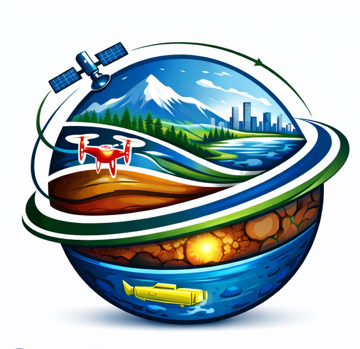
Nova GeoFrontiers supports organizations with decision-ready evidence for environmental monitoring, infrastructure planning, coastal resilience, and risk-informed investment—delivered with clear methods and measurable outputs.

Global-grade spatial intelligence,
delivered for real decisions
Digital twins, monitoring, risk screening, and decision support—built with transparent methods and practical outputs.
Digital twins • dashboards • risk screening • decision-ready evidence
Nova GeoFrontiers
Clarity
Decision-ready outputs—designed for action.
Credibility
Transparent methods and defensible results.
Practicality
Built for adoption, not shelfware.
Capacity
Enable teams through workshops and handover.
Who we are
Nova GeoFrontiers Group Inc. is a Canada-based consulting practice providing practical spatial evidence for environmental monitoring, coastal and water systems, infrastructure risk, and analytics at scale (GeoAI where it helps). Our focus is simple: clear methods, clear outputs, and delivery that decision-makers can use.
How we work
Discover
Clarify the decision, success criteria, stakeholders, and data readiness.
Build
Combine satellite, GIS, and UAV/LiDAR workflows with clear QA/QC and assumptions.
Deliver
Provide outputs ready for briefings, planning, and operational use—plus optional handover and enablement.
Typical deliverables
Decision-support maps • dashboards • 3D terrain/models • risk briefs • reporting packs • workshops and playbooks
Target markets
Nova GeoFrontiers focuses on Canadian organizations that need defensible spatial evidence for planning,
risk, and environmental decision-making—plus select international partners where remote/hybrid delivery is effective.
Canada (primary)
• Municipal & regional governments (planning, resilience, asset intelligence)
• Infrastructure & utilities (risk screening, corridors, maintenance prioritization)
• Coastal, water, and watershed programs (baseline mapping, monitoring, analytics)
• Environment & conservation (change detection, habitat/land-cover intelligence)
• Infrastructure & utilities (risk screening, corridors, maintenance prioritization)
• Coastal, water, and watershed programs (baseline mapping, monitoring, analytics)
• Environment & conservation (change detection, habitat/land-cover intelligence)
International (selective)
• GCC: Saudi Arabia, Qatar, UAE, Kuwait, Bahrain, Oman (coastal resilience, infrastructure, digital twins, EO monitoring)
• Jordan (water & hazard intelligence, planning analytics)
• UK & USA (specialist EO/GeoAI support, research-to-operations, advisory delivery)
• North Africa: Tunisia, Morocco, Algeria, Egypt and regional partners (risk screening, monitoring programs, capacity building)
• Jordan (water & hazard intelligence, planning analytics)
• UK & USA (specialist EO/GeoAI support, research-to-operations, advisory delivery)
• North Africa: Tunisia, Morocco, Algeria, Egypt and regional partners (risk screening, monitoring programs, capacity building)
Partner types
• Engineering & consulting teams needing specialist support (EO/GeoAI/hydrospatial)
• Research & higher education partners (applied methods, training, knowledge transfer)
• Development / climate programs (risk, monitoring, evidence-based reporting)
• Research & higher education partners (applied methods, training, knowledge transfer)
• Development / climate programs (risk, monitoring, evidence-based reporting)
Business model & culture
How we engage
• Discovery & scope (decision, constraints, data readiness)
• Delivery sprints (maps, dashboards, 3D outputs, decision briefs)
• Enablement (handover, playbooks, workshops, coaching)
• Optional retainer for monitoring, updates, and executive reporting
• Delivery sprints (maps, dashboards, 3D outputs, decision briefs)
• Enablement (handover, playbooks, workshops, coaching)
• Optional retainer for monitoring, updates, and executive reporting
What we optimize for
Decision impact • defensible methods • clear assumptions • QA/QC discipline • reuse-ready assets
(so outputs don’t “die in a PDF”).
Company culture
Calm, senior-led delivery. We value clarity over jargon, evidence over opinions,
and partnership over “vendor mode.” If something can’t be defended, we don’t ship it.
Canada + International

Based in Ontario. Delivery across Canada and with international partners, where remote and hybrid engagement is effective.
Leadership

Founder-led delivery • Senior oversight • Decision-ready outputs
Nova GeoFrontiers
Dr. Rifaat Mohamed Abdalla — Geospatial Scientist
Ph.D. Geomatics (York University, Toronto) · M.Sc. Environmental Systems Engineering (University of Regina)
Founder & Principal Consultant (GISP, PMP, PMI-RMP)
Founder-led delivery with senior oversight across Earth observation, GeoAI, hydrospatial analytics, UAV/LiDAR, 3D baselines, and digital twin readiness.
Work is structured to be auditable (clear assumptions + QA/QC) and designed for decisions—planning, investment, resilience, and operations.
Career highlights
• Associate Professor, Sultan Qaboos University (since Aug 2017)
• Founder & Head, Hydrographic Surveying Department, King Abdulaziz University (2012–2017)
• Defence Scientist, Defence R&D Canada (DRDC) (2003–2005)
• Delivery across government, industry, academia and international contexts (Canada, GCC, and beyond)
• Founder & Head, Hydrographic Surveying Department, King Abdulaziz University (2012–2017)
• Defence Scientist, Defence R&D Canada (DRDC) (2003–2005)
• Delivery across government, industry, academia and international contexts (Canada, GCC, and beyond)
Research + publishing strength
• Peer-reviewed publication record across EO/GeoAI/hydrospatial applications
• Books and edited volumes with major academic publishers
• Applied R&D and funded-project experience supporting decision-led work
• Books and edited volumes with major academic publishers
• Applied R&D and funded-project experience supporting decision-led work
Recognition
• 2022 Outstanding Leadership Award (Education2 Conference, Dubai)
• 2021 Best Academic Award (College of Science, Sultan Qaboos University)
• 2008 Best Scientific Paper in GIS (ASPRS)
• 2021 Best Academic Award (College of Science, Sultan Qaboos University)
• 2008 Best Scientific Paper in GIS (ASPRS)
What clients get
Clear methods • QA/QC-ready workflows • maps/dashboards/3D outputs • decision briefs • enablement on request
Selected client references and representative case notes available upon request.
Credentials & focus
Professional credentials:
GISP · PMP · PMI-RMP
Sectors supported:
government · infrastructure & utilities · environment & conservation · coastal and water systems · research & higher education
Working style:
clear scope · defensible methods · decision-ready delivery · optional training and handover