Capabilities & sectors
Where we help — and what you get
A clear view of our capabilities and the sectors we support—written for executives, program managers, engineering teams, and research leaders who need defensible spatial evidence to plan, monitor, and invest with confidence.

Coastal corridors • shoreline protection • infrastructure resilience
Nova GeoFrontiers
Executive summary
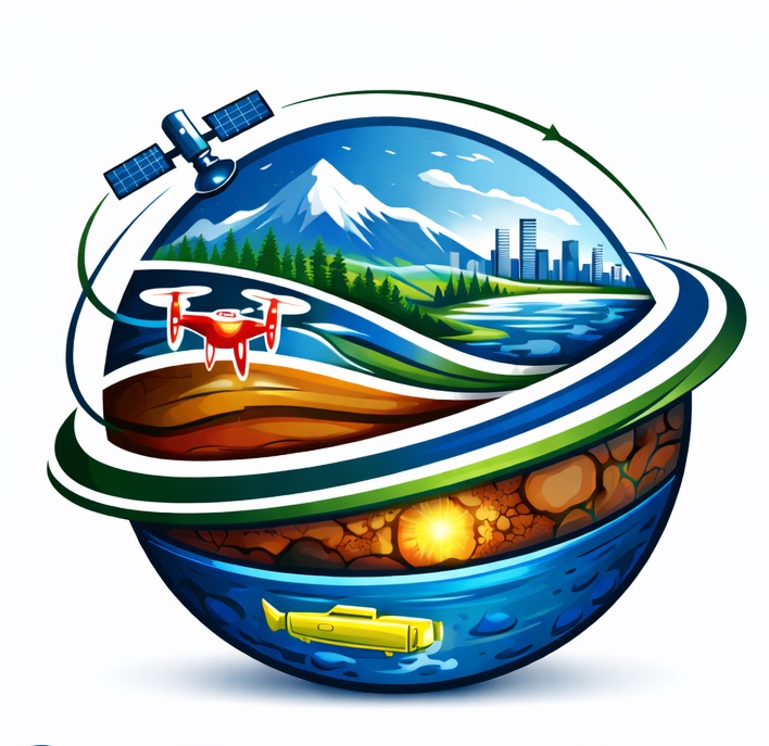
Nova GeoFrontiers provides senior-led spatial intelligence—combining Earth observation, UAV-LiDAR, and analytics—
to support monitoring, coastal and water programs, and risk-informed infrastructure decisions.
Environmental Monitoring
•
Coastal Resilience
•
Infrastructure Risk
Canada + International delivery

Based in Ontario. Delivery across Canada and with international partners through on-site, remote, and hybrid engagement.
Capabilities
Core capabilities
Each capability is framed as an outcome: what it supports, what you receive, and how it fits into real delivery.
Spatial Decision Support
Turn data into decision-ready layers, indicators, and dashboards that teams can operate and maintain.
Outputs: dashboards · decision layers · documented workflows
Earth Observation Monitoring
Track change across land, coast, and water systems with repeatable methods suitable for reporting and program decisions.
Outputs: change maps · monitoring indicators · technical briefs
Scaled Analytics (GeoAI where it helps)
Speed up classification, detection, and evidence extraction—while keeping assumptions clear and results auditable.
Outputs: repeatable models · QA notes · reproducible workflows
Hydrospatial & Coastal Intelligence
Support coastal and river programs with shoreline dynamics, flood exposure screening, and decision-ready coastal indicators.
Outputs: screening maps · coastal indicators · advisory briefs
UAV-LiDAR Terrain & 3D Context
Produce high-resolution terrain and 3D context layers that support design, drainage/inundation analysis, and digital-twin readiness.
Outputs: DTM/DSM · 3D context layers · ready-to-use datasets
Risk & Resilience Analytics
Connect hazards to assets and priorities—so leadership can compare options and invest with clarity.
Outputs: risk briefs · scenario maps · resilience inputs
Short Courses & Professional Workshops
Practical training that helps teams adopt EO, GIS, and analytics workflows—focused on real tasks, standards, and QA/QC.
Delivered as short courses, tailored workshops, and hands-on clinics (Canada and international).
Outputs: course materials · exercises & templates · playbooks · handover notes
Sectors
Sectors we support
We adapt delivery to sector realities—governance, reporting needs, and operational constraints—so outputs are usable.
Government & Public Sector
Monitoring programs · land and coastal management · evidence for policy and reporting.
Engineering & Design Teams
Constraints mapping · corridor screening · decision-ready evidence for design choices.
Infrastructure & Utilities
Asset exposure · climate inputs · monitoring indicators · digital twin readiness support.
Energy & Natural Resources
Land-change monitoring · site screening · reporting and compliance support.
Academia & Research
Applied research delivery · reproducible workflows · training workshops and capacity building.
International Programs & NGOs
Climate and disaster analytics · monitoring frameworks · decision-ready communication.
Marine Navigation Support
Coastal indicators · shoreline and nearshore context · nautical charting support initiatives.
Engagement options
Engagement models
Rapid diagnostic
A short engagement to confirm the decision, assess data readiness, and define a crisp scope and timeline.
Project delivery
End-to-end delivery—maps, dashboards, 3D context, and briefings—with documented methods and QA.
Advisory + enablement
Ongoing support for programs and teams—plus workshops, playbooks, and practical handover.