What we provide
Decision Intelligence for
Earth & Water Systems
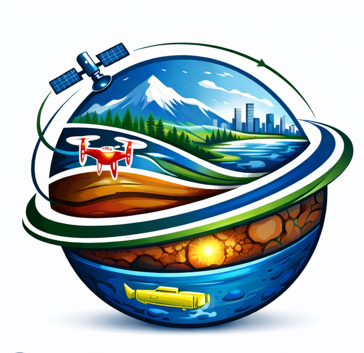
Nova GeoFrontiers Group Inc. delivers senior-led consulting that integrates UAV-LiDAR Terrain Intelligence, multi-sensor Earth Observation, and GeoAI to produce decision-ready intelligence for infrastructure planning, coastal resilience, and climate-informed risk management. Built for real decisions—clear outputs, defensible methods, measurable value.
Typical delivery:
maps•
dashboards•
3D models•
risk briefs•
training
What clients get
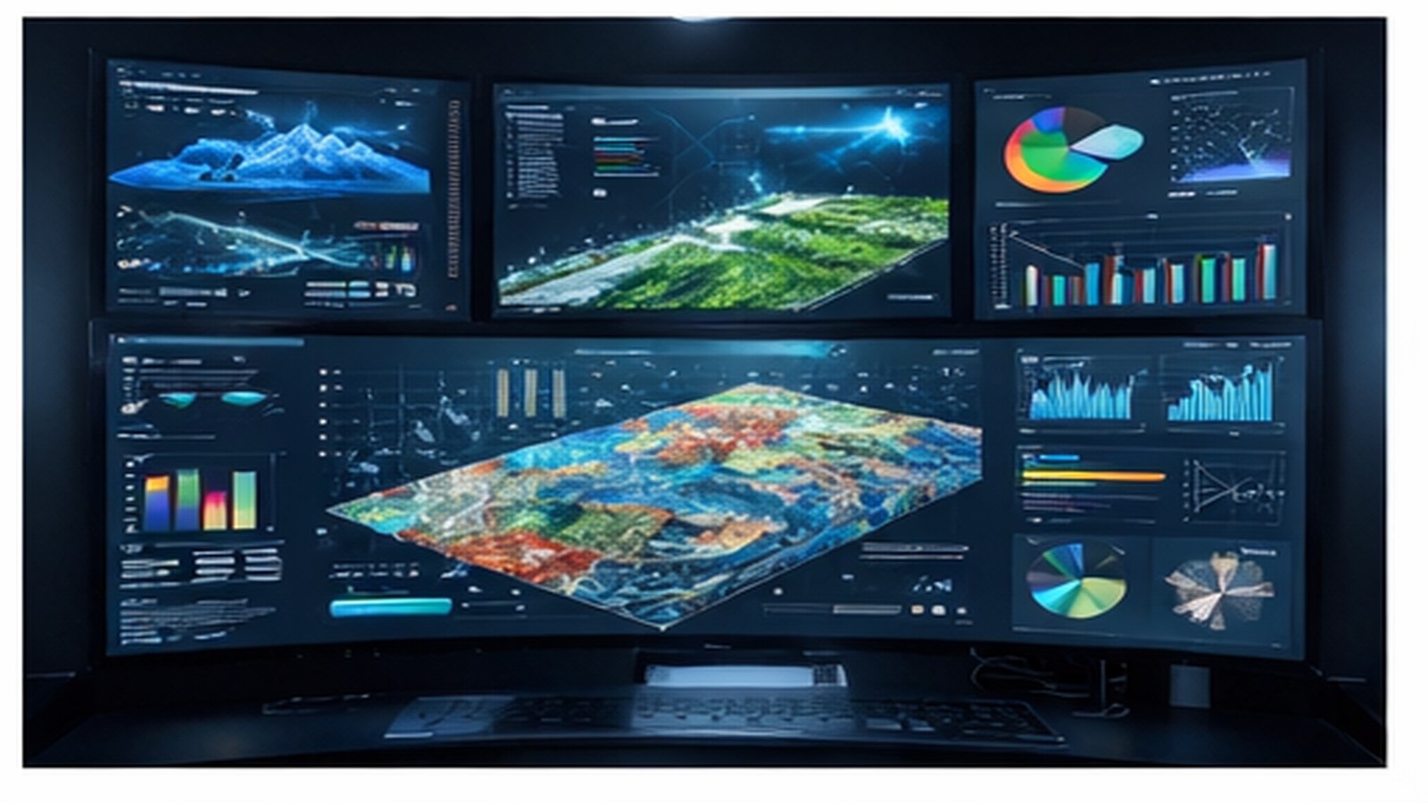
Outcome-focused analytics
Insight designed for decisions, not just visuals.
Insight designed for decisions, not just visuals.
Transparent methods
Clear assumptions, defensible workflows, reproducible results.
Clear assumptions, defensible workflows, reproducible results.
Implementation-ready delivery
Outputs ready to brief leadership and inform planning.
Outputs ready to brief leadership and inform planning.
Training & transfer
Build internal capability to sustain delivery.
Build internal capability to sustain delivery.

Senior-led delivery • Science-to-operations • Canada + International delivery
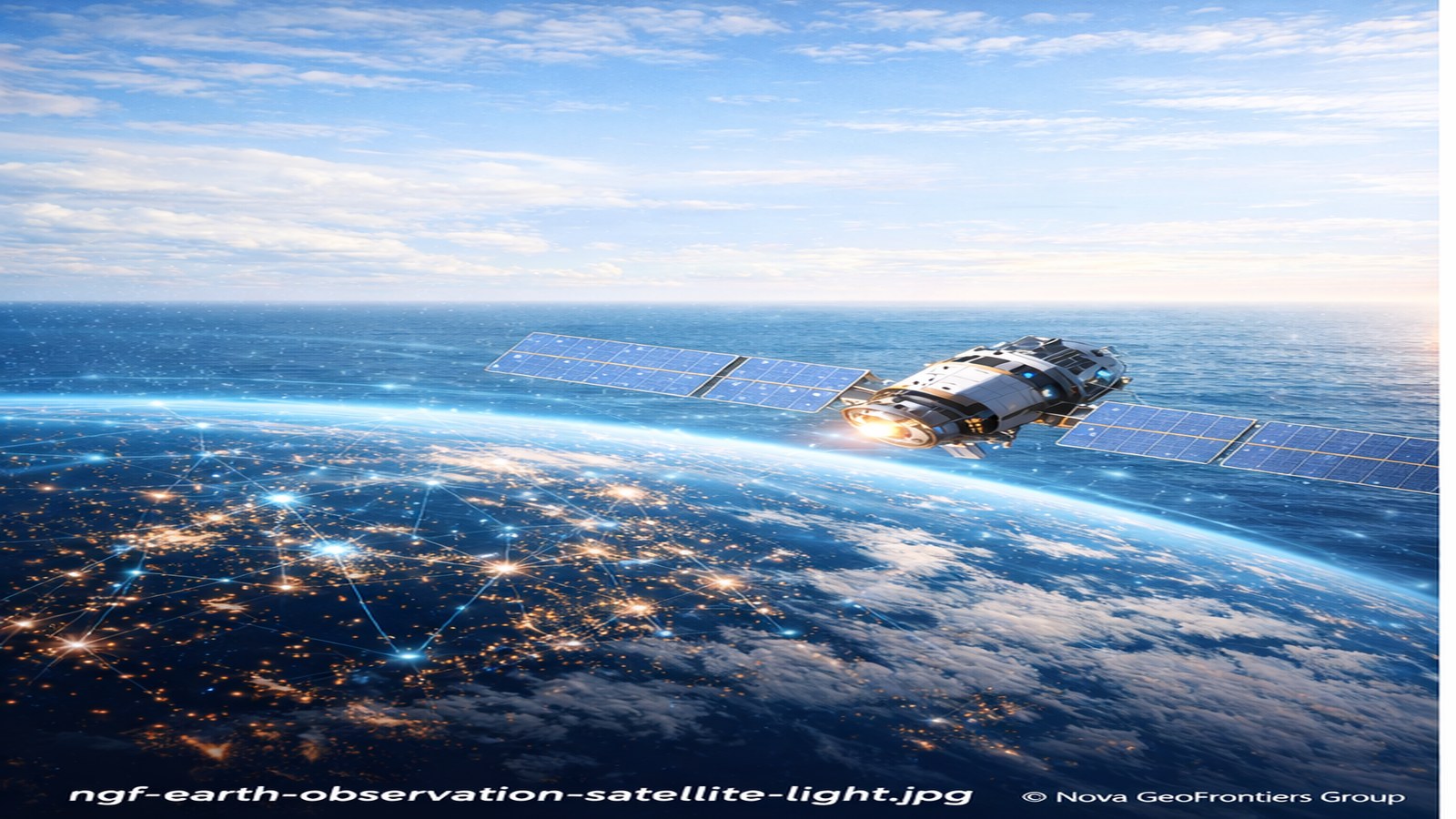
Environmental Monitoring
•
Coastal Resilience
•
Infrastructure Risk
Selected engagements and technical case references available upon request.
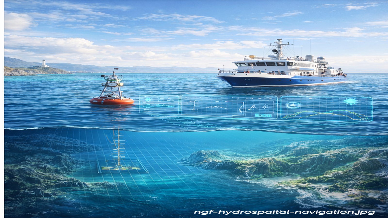
Hydrospatial & Coastal
Systems Intelligence
Systems Intelligence
Integrated coastal and riverine analysis using Earth Observation and UAV-LiDAR to support flood risk modelling,
shoreline change assessment, and infrastructure exposure screening—informing resilience planning, coastal asset protection,
and marine navigation / nautical charting support initiatives.
GeoAI-Driven
Environmental Intelligence
Environmental Intelligence
Machine learning and advanced spatial analytics to derive environmental indicators, detect change across large extents, and
produce reproducible evidence for monitoring programs, climate adaptation strategies, and regulatory reporting.
Digital Twin & 3D
Geo-Modeling (UAV-LiDAR)
Geo-Modeling (UAV-LiDAR)
High-resolution 3D terrain and infrastructure models through UAV-LiDAR and multi-sensor fusion—enabling Digital Twin
environments for scenario simulation, drainage and inundation analysis, and asset vulnerability assessment.
Twin Cities &
Infrastructure Intelligence
Infrastructure Intelligence
Spatially enabled digital representations of urban systems and critical infrastructure to support monitoring, simulation,
and decision-making for asset management, disaster preparedness, and long-term infrastructure planning.
Climate & Multi-Hazard
Spatial Risk Analytics
Spatial Risk Analytics
Exposure and vulnerability modelling that connects hazards to people, assets, and systems—supporting preparedness,
response planning, and adaptation pathways with scenario-based insights.
Project Delivery &
Project Risk Advisory
Project Risk Advisory
Structured planning, governance, and risk management for geospatial and infrastructure initiatives—helping teams
control scope, manage uncertainty, and deliver quality outputs on time with stakeholder confidence.
Capability Uplift &
Knowledge Transfer
Knowledge Transfer
Practical training and implementation support to help teams adopt EO, GeoAI, GIS, and UAV-LiDAR workflows—covering
methods, QA/QC, governance, and operational handover. Delivered across Canadian and international operational environments
through tailored workshops, technical playbooks, and embedded knowledge transfer so capability remains in-house.
Delivery model
Our Approach
Discover
Clarify decisions, stakeholders, constraints, and data readiness—so effort targets what matters.
Design
Build an integrated workflow (EO + GIS + GeoAI + UAV-LiDAR) matched to your operational reality.
Deliver
Provide decision-ready outputs—maps, dashboards, 3D models, and briefings—plus optional training for adoption.
Ready to scope a project or discuss a partnership?